Accueil » Hikes around the campsite
Hikes around the campsite
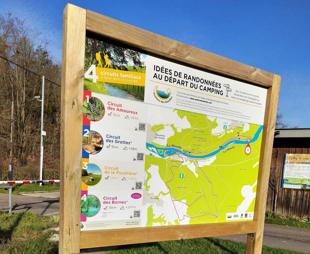
Les Sentiers des Deuilles (hiking trails)
Marked hikes starting from the campsite
The Les Sentiers des Deuilles association offers hikes and marked trails in 18 towns in Toulois, including Villey-le-Sec.
A display at the entrance to the campsite and brochures available at reception will show you the routes to follow from the campsite!
The “deuilles” are points where water from rivers or rainwater flows reappears on the surface after an underground journey. They are characteristic of the Toulois region and offer a unique landscape with water of sometimes incredible hues.
Between Santiago de Compostela and the GR 5
At the crossroads of major hiking trails
Toul, with its Cathedral St Etienne, is on the route to Compostela towards the Vézelay or Puy-en-Velay routes.
Thanks to the Colibri shuttle which serves Toul and the campsite, you can stop off at the Villey-le-Sec campsite during your pilgrimage, or simply cover part of the route in a day.
On the other side, you can reach Nancy to follow the GR 5, the European trail which takes you through the Vosges in particular and ends in Nice.

A campsite suitable for hikers
Restaurant on site
To welcome you with fresh, local produce when you return from your walk!
Shuttle
The shuttle takes you to Toul, Écrouves or Foug where you can go for a walk
Grocery and bread depot
Before you go hiking, pack a comforting local snack
Bicycle loan and rental
To vary the pleasures or get to the start of a hike more easily
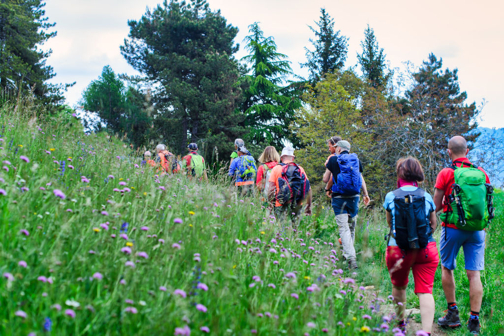
Hikes and walks around the campsite
Alone, with family or friends, discover the Lorraine landscapes by exploring the trails and hiking routes near the Villey-le-Sec campsite.
“4 bans” hiking path – 10,5 km
“Gye” hiking path – 8 km
“Circuit des croix” hiking path – 12 km
“Circuit de la Poudrière” hiking path – 9 km
“Circuit du Bois-Gaillard” hiking path – 6,5 km
“Circuit St Maurice” hiking path – 6 km
“Circuit de la Viergeotte” hiking path – 15 km
“Circuit de St Fiacre” hiking path – 10,5 km
Hiking in Meurthe-et-Moselle
Find even more hiking trails throughout the department on the Balades 54 website or mobile app, created by the Departmental Council and its partners. The trails are available in PDF and GPX formats, which can be viewed directly from the app.